Built for hunters and land managers
Plan your food plots in minutes
Draw a parcel on satellite imagery, get a food plot plan built for that exact ground, and find out who owns it — all in one place.
Free to start. No credit card required.
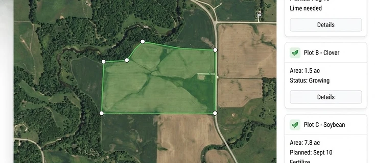
Draw a parcel → measure acres → get a food plot plan
Measure acreage
Tap points on satellite imagery to outline any field, timber edge, or lease and get instant acreage and shape measurements.
AI food plot recommendations
Turn a drawn parcel into a real plan: plot size, placement, soil notes, and a seed mix suited to your region.
Look up land ownership
Find out who owns the ground you are scouting from public parcel and assessor records — before you knock on a door.
Scout smarter this season
Measure your ground, plan the plot, and know who owns the land next door.
Get started free